![]()
| Welcome
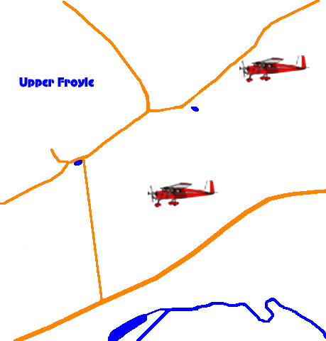
to a series of aerial views of Upper Froyle in the 1990s. These show
mainly the Treloar School area, but this does encompass a large part
of Upper Froyle
Click the light aircraft icons on the map to select the view.
|
|